
home to america’s greatest driving roads
brought to you by locals who know these roads best!

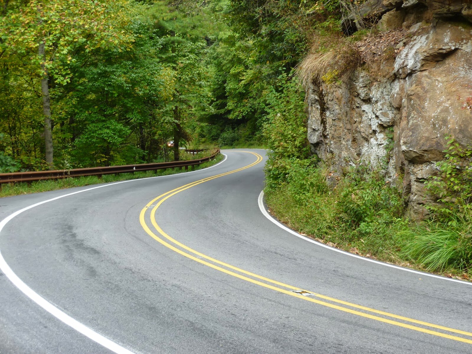
tail of the dragon
Designated US 129, the road is bordered by the Great Smoky Mountains and the Cherokee National Forest with no intersecting roads or driveways to hamper your travel. It is considered “the destination” for thousands of motorcycle and sports car fans throughout the spring, summer, and fall. Can you brave the legendary 318 curves in 11 miles? It’s best to be cautious as the turns are tight, but the Tail of the Dragon is guaranteed to be the ride of your life.
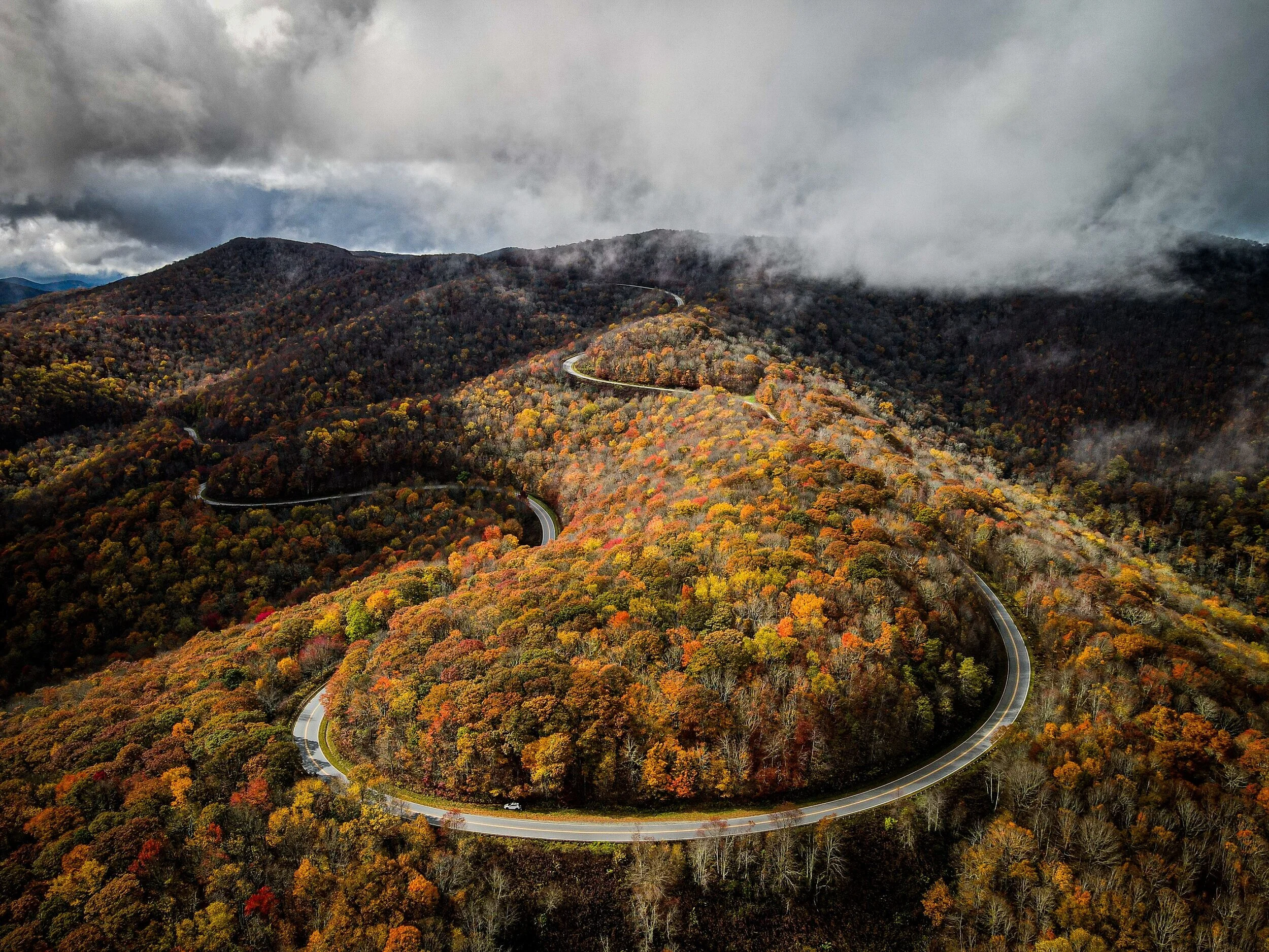
cherohala skyway
The Cherohala Skyway was completed in the fall of 1996 after planning and construction for some thirty-four years. It was North Carolina’s most expensive scenic highway carrying a price tag of $100,000,000. It winds up and over 5,400 foot mountains for 18 miles in North Carolina and descends another 23 miles into the deeply forested back country of Tennessee. The road crosses through the Cherokee and Nantahala National Forests thus the name “Chero…hala”. The Skyway is becoming well known in motorcycling and sports car circles for it’s long, sweeping corners, scenic views, cool summer breezes, fall colors, and winter vistas.This road enthusiast’s dream connects Robbinsville, North Carolina with Tellico Plains, Tennessee. It can be desolate at night and dangerous in the winter months. There are no facilities other than a couple of restrooms for the entire 41 miles so make sure you have enough gas to make the crossing. There is little evidence of civilization from views that rival or surpass any from the Blue Ridge Parkway.
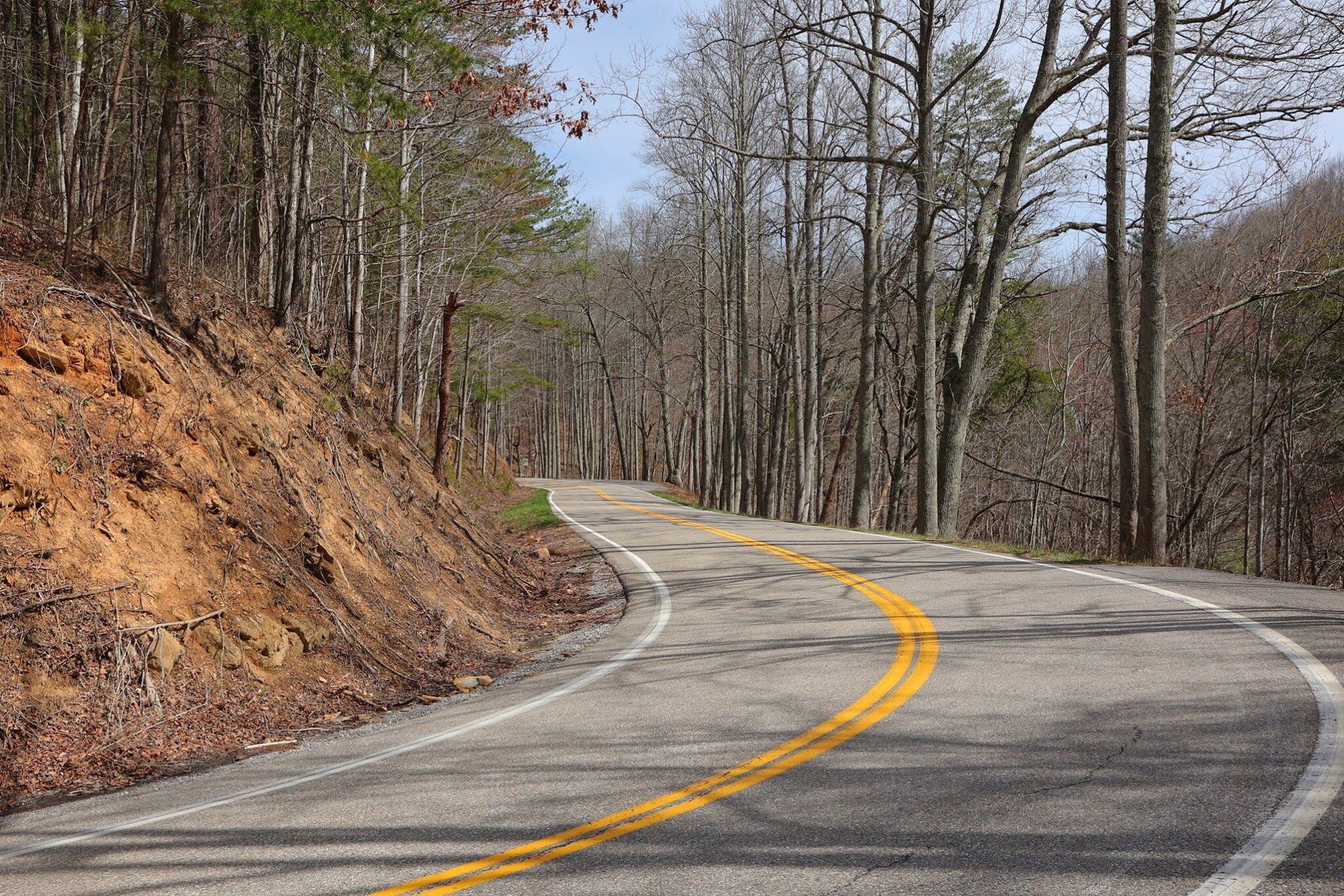
moonshiner 28
Moonshiner 28 is fast becoming one of the great must-do roads of western North Carolina. Everyone has heard of the Tail of the Dragon and now there is another comparable road that is less crowded and offers even more to see for the two-lane tourist.
Stretching from US 129 at the Tail of the Dragon at Deals Gap, Moonshiner 28 winds its way southeastward 103 miles through Franklin and Highlands North Carolina before turning southward into Georgia and South Carolina ending at the sleepy town of Walhalla.
Once one of the major runs for moonshiners with revenuers hot on their bumper, the road today boasts some great twisties, wide sweepers and unsurpassed scenery. Mountain vistas, waterfalls and secluded lakes appear around nearly every corner. You can find good food, accommodations of every type and unique shops with unusual antiques and crafts created by mountain artisans.

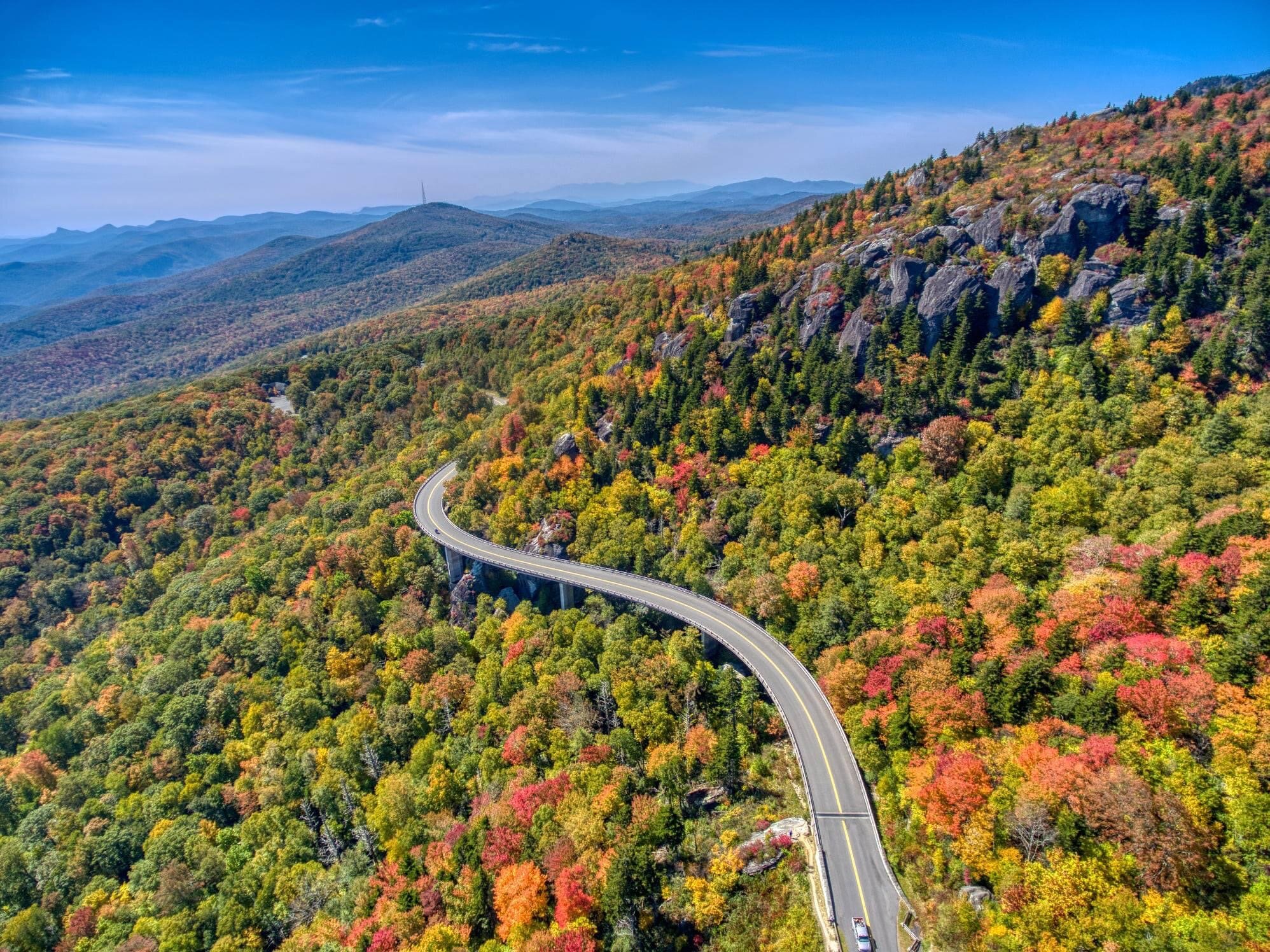
foothills parkway
The Foothills Parkway has been in the works for some 75 years and is probably another 20 years to completion. The southern most 17 miles running from US 129 at the Chilhowee Lake to US 321 at Walland was completed in 1966 and is quite spectacular. The next phase of 16 miles was opened in December of 2018. This extension runs 17-miles from US 321 in Walland to Wears Valley.
There is a northern 5.6 miles open from I-40 south to US 321 near Cosby. This short section was opened in 1968.
The southern section of the Parkway offers some spectacular views of the Great Smoky Mountains on one side and the Tennessee Valley on the other. On clear days one can see all the way to the Cumberland Mountains 50 miles to the west.
The completed southern sections provide a great connecting route for tourists heading to the Tail of the Dragon from the Gatlinburg/Pigeon Forge area.

Hellbender
Heading north on the Hellbender 28, you find a completely different road experience with sweeping curves and drop offs, all lakeside in the Great Smoky Mountains. There are few drives in America that can equal the views as you travel this beautiful byway along Fontana Lake in North Carolina. The 22 mile stretch is surrounded by water and dense, forested mountains. The 22 mile stretch ends at Deals Gap and begins the Tail of the Dragon.
These two lane mountain side roads are in great shape. There is little commercial traffic which leaves plenty of wide open space for spirited driving.

devil’s triangle
The Devils Triangle, just north of Oak Ridge (TN) in the mountains of the Cumberland Plateau, is made up of some of the most unusual two lane twisty roads in eastern Tennessee.
The adventure ranges from the bucolic rural Tennessee scenery to a view of Brushy Mountain State Prison; from gentle country road sweepers to gnarly steep switchbacks; from serene straights to Dragon like twisties with guard rails of death; from gentle pull-offs to three foot deep rock strewn gullies just inches from the pavement; from peaceful farmsteads to sections of rutted roadway right out of a horror movie.
Yes, the Triangle will get your attention in a hurry. This is no place for the beginner.
and so many more fantastic roads!
The roads listed above are some of the better known roads, but the whole region is covered in fantastic driving and scenic roads. Every driving route we make differs from previous drives and we have never driven the same route twice during our events! We do our very best to keep our drives interesting and engaging, and are confident you’ll have a blast! There are so many hidden gem roads that only locals are aware of, and we try to keep the word from getting out to keep them sparsely travelled. We have nicknamed one of our favorite roads “Voldemort”, because we dare not speak its name to keep this our little secret.


Photos and video courtesy of Timothy Leach Photography, Killboy Photography, Scotch & Waller Photography, tailofhtedragon.com, and unknown.